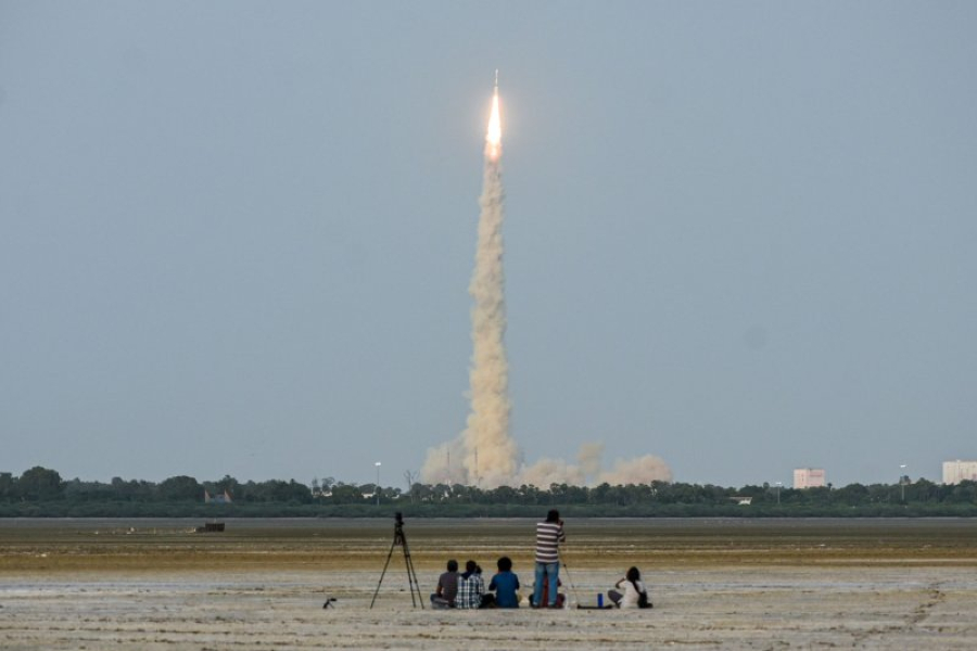
, the first joint satellite of the Indian Space Research Organisation (ISRO) and NASA, was launched on Wednesday from the Satish Dhawan Space Centre in Sriharikota, India. EPA/Ragul Krishnan")
NASA said Wednesday it has launched a unique radar system to map the Earth in collaboration with the Indian Space Research Organisation.
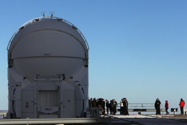
The NASA-ISRO NISAR Synthetic Aperture Survey satellite was launched from the Satish Dhawan Space Centre on Sriharikota island in Andhra Pradesh, India, on Wednesday at 8:10 a.m. IST.
NISAR, which NASA described in a press release as “a critical part of the U.S.-India civil space collaboration,” will orbit 464 miles above Earth and use a pair of radar instruments to monitor nearly the entire planet's surface, including icy regions, twice every 12 days.
The NISAR mission is the first joint project between NASA and ISRO, with both agencies developing Earth observation equipment.
It is designed to monitor forest and wetland ecosystems, as well as to detect deformations and movements of frozen surfaces and detect crustal movements with sub-inch accuracy.
These measurements are important to scientists, allowing them to better understand how the Earth's surface behaves before, during and after potential geological events such as landslides, earthquakes and volcanic eruptions.
NISAR will also provide data on long-term changes in Earth's ecosystems, such as wetlands, permafrost, forests and agricultural areas.
“Congratulations to the NISAR mission team on a successful launch that spanned multiple time zones and continents in the first-ever NASA-ISRO partnership on a mission of this scale,” said Dr. Nicola Fox, associate administrator of NASA’s Science Mission Directorate, in a press release.
“At our most critical moments, NISAR data will help ensure the health and safety of people on Earth and the infrastructure that supports them, for the benefit of all,” she added.
“With this successful launch, we are on the cusp of realising the enormous scientific potential that NASA and ISRO built into the NISAR mission more than 10 years ago,” said ISRO Chairman Dr Vannijaperumal Narayanan. “The powerful radar capabilities of this mission will enable us to explore dynamic land and ice surfaces in greater detail than ever before.”
The NISAR satellite is the first autonomous space mission equipped with both an L-band and an S-band radar system, which aim to identify objects of varying sizes and characteristics, from forest biomass and agricultural ecosystems to soil moisture and ice and land movement.
“The mission's measurements will be global, but their applications will be deeply local, as people around the world will use its data to plan for a sustainable future,” NASA's Jet Propulsion Laboratory Director Dave Gallagher said in a press release.
Sourse: www.upi.com