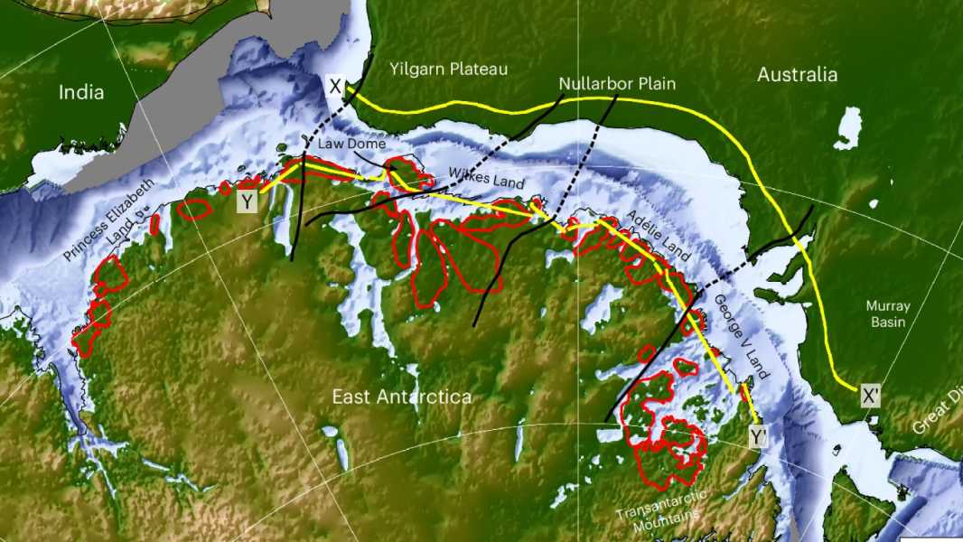

The rivers were probably formed as a result of the breakup of the supercontinent Gondwana, which separated Antarctica from Australia. (Image courtesy of Guy Paxman)
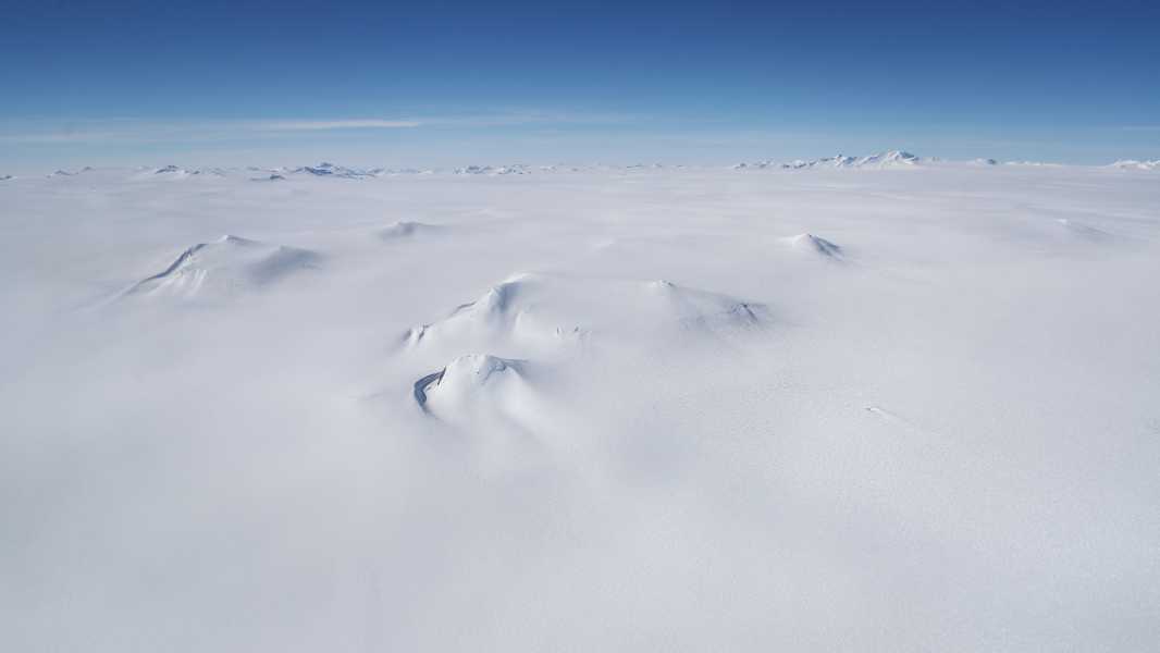
Scientists have stumbled upon a long-lost landscape that has been preserved beneath the Antarctic ice sheet for 30 million years.
Erosion caused by ancient rivers likely formed vast flat areas beneath the East Antarctic ice sheet between 80 million and 34 million years ago. Understanding how these features were created and how they continue to shape the landscape could help improve predictions of future ice loss, researchers reported July 11 in the journal Nature Geoscience.
“We have long been interested in and wondered about the fragmentary evidence for ‘flat’ landscapes beneath the Antarctic ice sheets,” said study co-author Neil Ross, a geophysicist at Newcastle University in the UK. “This study brings together the fragments of data to create a complete picture of how these ancient surfaces were formed, their role in determining modern ice movement, and their potential impact on the evolution of the East Antarctic Ice Sheet in a warming world.”
You may like
-

What's hidden beneath the ice of Antarctica?
-
NASA satellites show Antarctica is covered in ice despite rising global temperatures. How is this possible?
Sourse: www.livescience.com