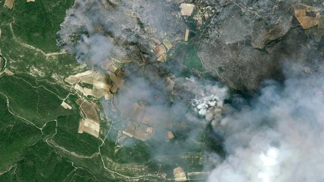

Forest fires near Aude, France, August 5, 2025, as captured by Airbus Defence and Space's Pleiades Neo satellite. (Image: Pléiades Neo© Airbus DS 2025)
Satellite images illustrate the scale of devastation in southern France caused by the country's worst wildfire in seven decades.
The fire was first recorded on August 5 near the town of Ribot in the Aude department of southeastern France. In less than four days, it has destroyed some 42,000 acres (17,000 hectares) of forest and farmland – an area larger than the French capital, Paris.
The scale of the disaster was captured in stunning images taken by the high-resolution Pleiades Neo satellites, operated by European aerospace giant Airbus.
You may like
-
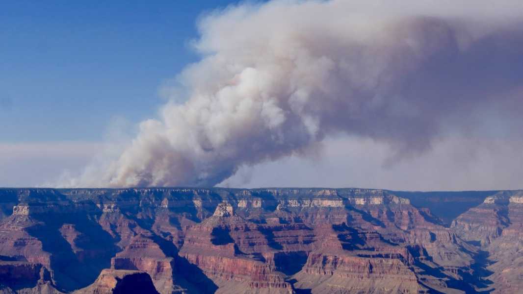
Grand Canyon Dragon Wildfire Destroys Historic Building, Causes Toxic Gas Leak
-
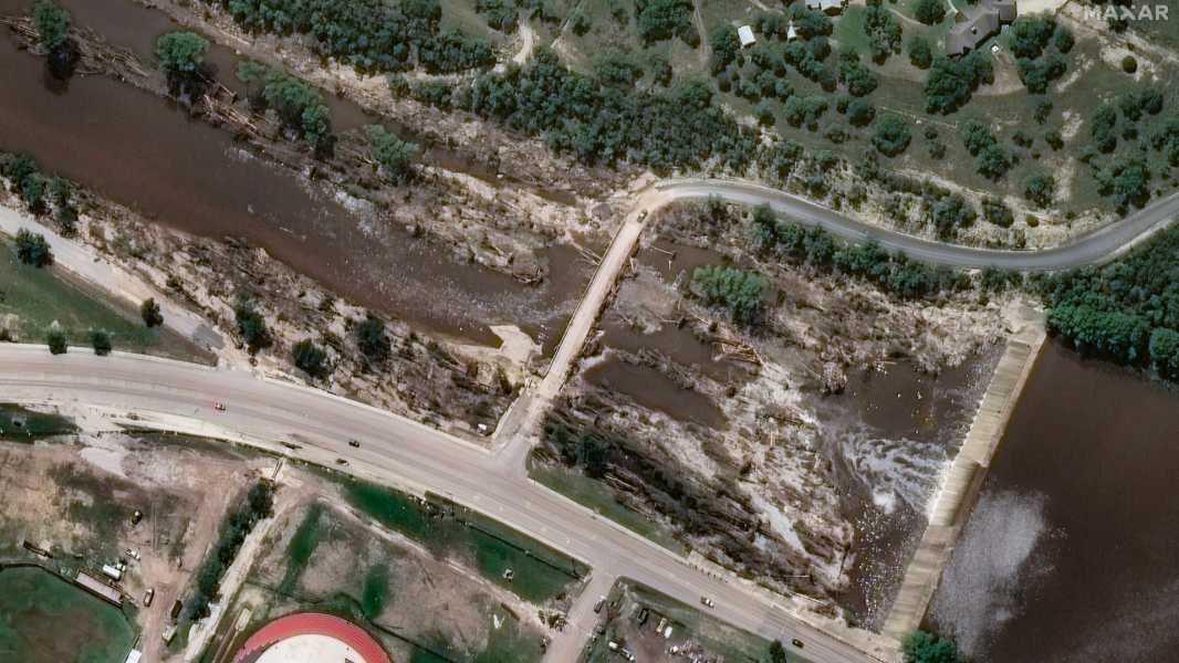
Texas flooding effects seen in before and after satellite images
Sourse: www.livescience.com