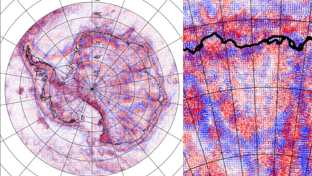

Because Wilkes Land Crater is hidden beneath the Antarctic ice sheet, it can only be detected using gravity measurements and other mapping techniques. On this map, the crater is in the lower right corner and forms a light U-shape surrounded by darker areas. (Image credit: Klokočník, Kostelecký & Bezděk. Earth Planets Space (2018). Distributed under Creative Commons (CC BY 4.0))
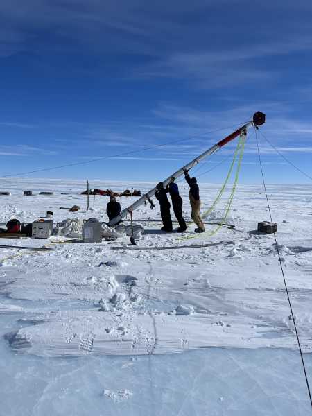
Wilkes Land Crater is a hole in the bedrock beneath the East Antarctic ice sheet that is 315 miles (510 kilometers) in diameter. Researchers have been trying to figure out what caused it since the 1960s, and recent evidence suggests it was caused by a catastrophic meteorite impact.
The crater was first discovered as a significant dent in the planet's gravity field. Initial seismic and gravity studies on the ground already suggested that the crater was of considerable size – about 150 miles (240 km) across – but more recent techniques suggest that it is likely twice as large.
Wilkes Land is located about 1 mile (1.6 km) beneath the surface of Antarctica’s ice sheet, according to a 2018 study. The study provided the most detailed description of the crater to date and looked at its possible connection to southern Australia, which was connected to East Antarctica about 35 million years ago. While the crater’s origin remains unclear, the results suggest that the event that created the vent likely occurred before the continents separated.
You may like
Sourse: www.livescience.com