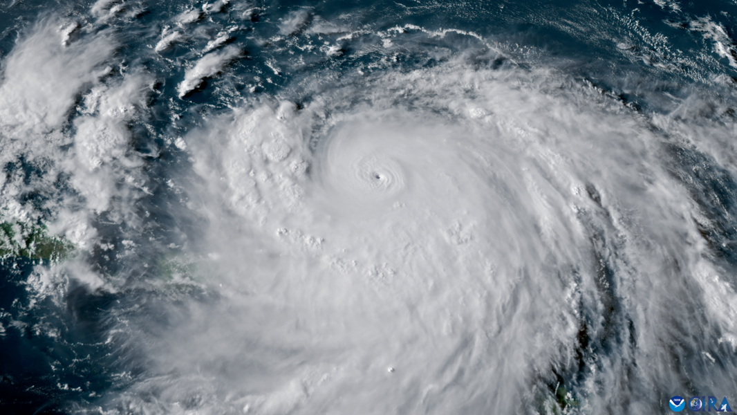

Hurricane Erin rapidly strengthened into a Category 5 storm on Saturday (August 15). (Image courtesy of Colorado State University Cooperative Institute for Research in the Atmosphere and the National Oceanic and Atmospheric Administration (CSU/CIRA and NOAA))
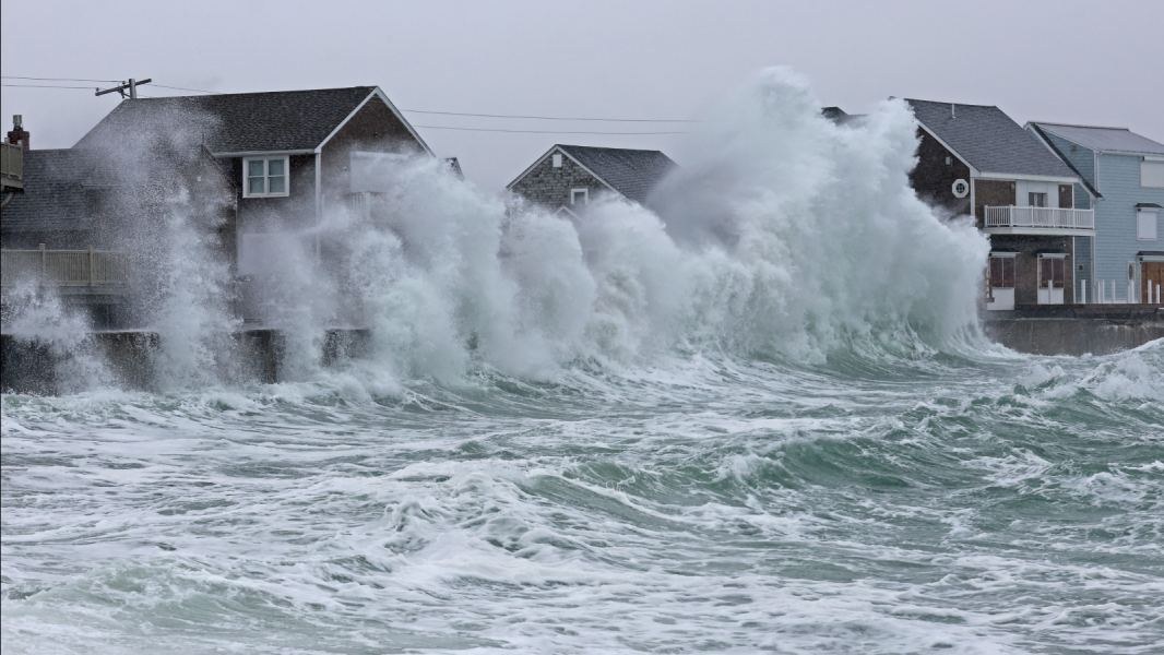
Forecasters are warning that coastal flooding and the threat of life-threatening rip currents are forecast as Hurricane Erin approaches the East Coast this week. The powerful storm could produce waves up to 30 metres (100 feet) high.
Hurricane Erin became the first hurricane of the 2025 Atlantic storm season over the weekend. It quickly strengthened on Saturday (August 16), reaching Category 5 status, the highest hurricane level on the Saffir-Simpson scale. Erin then weakened but re-intensified, and at the time of writing, it is a Category 4 with sustained winds of about 135 mph (215 km/h).
The tropical storm is east of the southeastern Bahamas and is expected to move between Bermuda and the East Coast by midweek, according to the National Hurricane Center (NHC) on Monday (August 18). While Erin is not expected to make landfall, it will likely threaten the coast with dangerous waves and flooding.
You may like
-
Strong northeast winds along the US East Coast are becoming more intense due to global warming, according to a study.
Sourse: www.livescience.com